New York Buses
Visitors guide for getting around on New York City buses
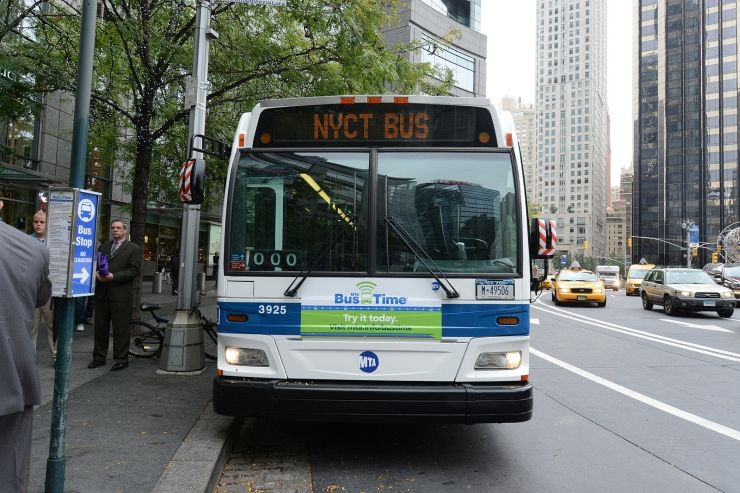
Although you can get to pretty much anywhere you will want to go in New York City by means of the subway or train, you may want to take a bus ride or two, if for nothing more than to enjoy the view and explore some of the sights as the bus makes it's way across the city. Riding the buses is actually an enjoyable way to get an overview of some of the city, as you won't see much riding the subway, especially in Manhattan where it is mostly underground.
Like the subway, the bus system in New York is very comprehensive and extensive. Bus routes are designated with a letter representing the borough and an number for the route. Bronx routes begin with BX; Brooklyn with B; Manhattan with M; Queens with Q; and Staten Island with S. The route number is sometimes indicative of the street number the bus primarily runs on, but that is not always the case.
For a scenic Manhattan bus tour by transit we recommend boarding the M4 bus near the Empire State Building and riding it north. You will see a lot of interesting architecture and neighborhoods including the Museum Mile and Broadway ending up the at The Met and the Cloisters and Fort Tryon Park.
Another scenic bus route that passes through several interesting neighborhoods is the M5. Starting at Battery Park in southern tip of Manhattan you will pass the World Trade Center Site, Soho, Greenwich Village and eventually wind along scenic Riverside Drive to the north.
Try to avoid rush hours so you can get a window seat and (unless you need it) avoid sitting in the wheelchair section at the front so you won't have to move or give up your seat if someone is boarding with a wheelchair. With an unlimited MetroCard you can hop on an off the buses as often as you wish and explore points of interest along the way. Bus service is frequent throughout the day with most routes providing service about every 10 minutes. Service does drop off to one bus every hour late at night.
You can download a pdf route map and route summaries for each of the boroughs from MTA Maps. You can also obtain free printed maps from subway station token booths or on the buses. Armed with a route map you should have no difficulty navigating around the city by bus.

Manhattan Bus Map
Download a PDF New York City Bus Map
More Info for Getting Around New York City on Public Transportation
- Fares
- Subway
- Buses
- Ferries
- Railroad
- Citi Bike Program
- Airport Transportation
- Real Time Transit Alerts
- Transit Tips
Photos
-

Photo Credit: Oran Viriyincy - cc license via Flickr -

Photo Credit: MTAPhotos - cc license via Flickr -

Photo Credit: MTAPhotos - cc license via Flickr -

Photo Credit: MTAPhotos - cc license via Flickr -

Photo Credit: Oran Viriyincy - cc license via Flickr -

Photo Credit: MTAPhotos - cc license via Flickr